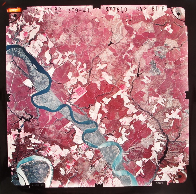
National High Altitude Photography (NHAP) and National Aerial Photography Program (NAPP) Collection
C1: 175
1980–1991
883 photographic prints, approx. 19.5 x 19.5 inches
These large-format aerial photographs cover extensive portions of Virginia, and include parts of the bordering states of North Carolina, Maryland, and West Virginia. They were produced as part of efforts coordinated by the U.S. Geological Survey to provide cloud-free aerial photography coverage of the United States for use by state and federal agencies.
The National High Altitude Photography program (NHAP) photographs were taken from an altitude of 40,000 feet. Each image covers approximately 68 square miles.
The National Aerial Photography Program (NAPP) photographs were taken from an altitude of 20,000 feet, and each image covers approximately 32 square miles.
Both groups were taken with color infrared film, which renders most of the vegetation in red or magenta.
Arrangement and access:
The NHAP set includes 629 photographs taken from 1980 to 1986. The NAPP set includes 254 photographs taken from 1989 to 1991. Both sets are organized by a film roll number followed by a frame number (example: 513-171 is Roll 513, Frame 171). Roll and frame numbers as well as photography dates are printed on the images. Inventories have been created for both sets, searchable by state/county and by roll/frame numbers. These inventories also include latitude and longitude data for each photograph.
Provenance:
Transferred from the Virginia Department of Conservation and Recreation, 2012.
C1:175 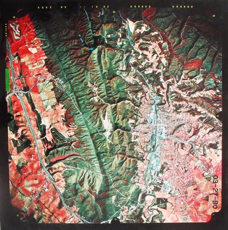
C1:175 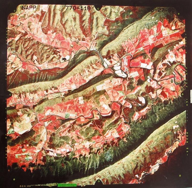
C1:175 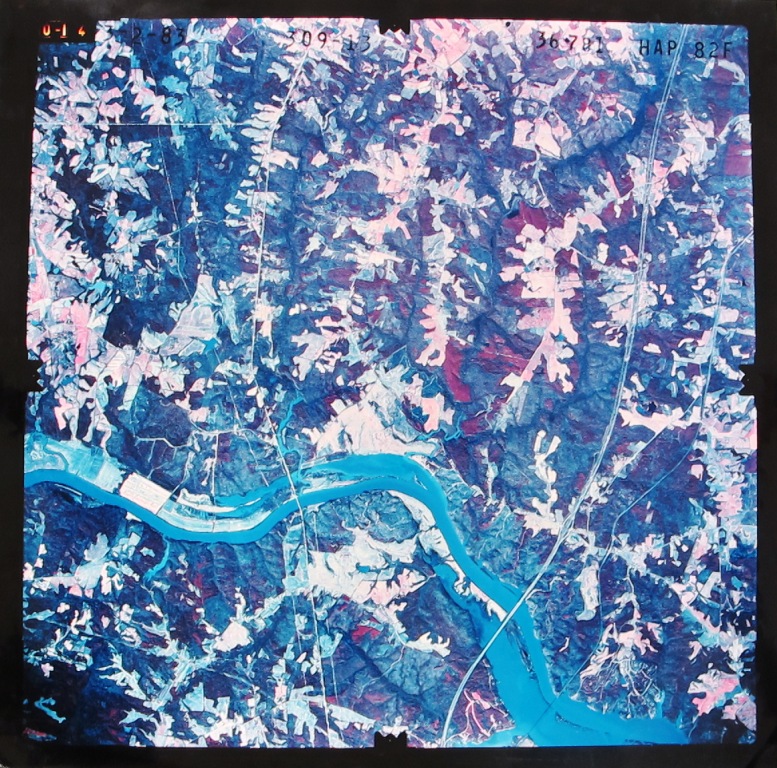
C1:175